Kon
Ka Kinh National Park
Alternative site name(s)
None
Province(s)
Gia Lai
Area
41,780 ha
Coordinates
14o09' – 14o30'N, 108o16' – 108o28'E
Distance(s)
From Pleiku
From Ho Chi Minh City
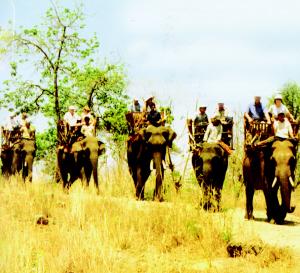
Eco-tours
Trekking, Bird watching… Contact us for more information
Topography and hydrology
Kon Ka Kinh National Park is located
in Kon Pne, Dakrong and Krong communes, K'Bang district,
Ha Dong commune, Dak Doa district, and Ayun commune, Mang
Yang district, Gia Lai province. The national park is situated
on the Kon Tum plateau in the central Annamite mountains.
To the north of the national park, elevations gradually
increase towards Mount Ngoc Linh, the highest point in the
central Annamites. To the south and west, the topography
is flatter, and altitudes are below 500 m. Altitudes within
the national park range from 570 m in the Ba river valley,
to 1,748 m at the summit of Mount Kon Ka Kinh.
The national park straddles two catchments: streams originating
in the east of the national park feed the Ba river, which
flows east, into the South China Sea; whilst the west of
the national park lies within the catchment of the Mekong
River. Due to the steep topography, rivers and streams originating
in the national park are often short, narrow and fast flowing,
with many waterfalls.
Biodiversity values
Kon Ka Kinh National Park contains 33,565
ha of natural forest, equivalent to 80% of the total area
of the national park. The national park supports a range
of montane habitat types. Of particular importance are 2,000
ha of mixed coniferous and broadleaf forest containing Fokienia
hodginsii.
Kon Ka Kinh National Park forms part
of a contiguous landscape of natural habitats in north-eastern
Gia Lai province, and adjacent Binh Dinh and Kon Tum provinces,
which supports some of the most intact faunal and floral
communities in the central Annamites. Notably, the national
park supports a number of globally threatened mammal species,
including Grey-shanked Douc Pygathrix cinerea, Yellow-cheeked
Crested Gibbon Hylobates gabriellae and Tiger Panthera tigris.
Kon Ka Kinh is situated within the Kon
Tum Plateau Endemic Bird Area, and supports six restricted-range
bird species. One of these species, the globally vulnerable
Chestnut-eared Laughingthrush Garrulax konkakinhensis, which
is endemic to the Kon Tum plateau, was discovered at Kon
Ka Kinh in 1999. For these reasons, Kon
Ka Kinh qualifies as an Important Bird Area.
Kon Ka Kinh National Park is also a globally
important site for the conservation of amphibian diversity.
Kon Ka Kinh supports a number of amphibian
species endemic to the Annamite mountains, including four
species assessed as globally threatened during the Global
Amphibian Assessment: Leptobrachium banae, L. xanthospilum,
Rana attigua and Rhacophorus baliogaster.
Other documented values
Kon Ka Kinh National Park< |