Bach
Ma National Park
Alternative site name(s)
Bach Ma-Hai Van
Province(s)
Thua Thien Hue
Area
22,030 ha
Coordinates
16o05' – 16o16'N, 107o43' – 107o53'E
Distance(s)
From Hue city:
From Da Nang city:
Eco-tours
Trekking, Bird watching… Contact
us for more information
Topography and hydrology
Bach Ma National Park is situated in
the central Annamite mountains. The national park lies on
a high mountain ridge that runs west-east from the Laotian
border to the East Sea at the Hai Van pass. This ridge interrupts
the coastal plain of Vietnam, and, therefore, forms a biogeographical
boundary between the faunas and floras of northern and southern
Vietnam. This ridge also affects the local climate at the
national park, which is probably the wettest place in Vietnam:
the mean annual rainfall at the summit of Mount
Bach Ma is 7,977 mm.
The geology of the national park is dominated by granite,
with some overlying areas of sandstone, schist and gneiss.
The topography is generally steep and rugged, formed by
heavy dissection of the substrate by surface water. The
national park is dominated by a west-east ridge, with several
peaks above 1,000 m, the highest of which is Mount
Bach Ma at 1,448 m. The lower slopes and hills
are less steep, and are bordered by a narrow alluvial plain.
There are many springs on the lower slopes and foothills
of the national park. Generally, the north of national park
is drained by the Truoi river, which flows into the coastal
lagoons south of Hue
city. The south of the national park is drained by tributaries
of the Ta Trach river, which flows westwards.
Biodiversity values
The Bach Ma area has long been noted
for its rich biodiversity. One reason is that, within a
relatively small area, the area supports a wide range of
habitat types, from coastal lagoons to montane forest. Additionally,
Bach Ma is situated at a biogeographical
boundary between northern and southern Vietnam, and between
the Annamite mountains and the coastal plain.
The main forest types found within the national park are
lowland evergreen forest below 900 m, and montane evergreen
forest above this elevation. Plant species richness within
remaining forest areas is, however, still high, and the
wider Bach Ma-Hai Van area is considered
to be one of seven globally important Centres of Plant Diversity
in Vietnam.
The mammal fauna of Bach Ma is incompletely
known, and only 48 species have so far been confirmed to
occur at the national park. However, a large number of mammal
species of conservation concern have been recorded at Bach
Ma National Park, for example, Red-shanked Douc
Pygathrix nemaeus and a species of gibbon.
To date, 249 bird species have been recorded at Bach
Ma National Park, and the number of species recorded
in the wider Bach Ma-Hai Van area totals 330. The national
park lies at the southern extent of the Annamese Lowlands
Endemic Bird Area and is known to support populations of
at least four of the restricted range species found in this
EBA: Annam Partridge Arborophila merlini, Crested Argus
Rheinardia ocellata, Short-tailed Scimitar Babbler Jabouilleia
danjoui and Grey-faced Tit Babbler Macronous kelleyi. In
addition, the national park supports a population of an
endemic subspecies of Silver Pheasant Lophura nycthemera
beli. Also of great conservation importance was the record,
in May 1998, of Edwards's Pheasant Lophura edwardsi, 1 km
outside of the buffer zone of Bach Ma National Park.
This globally endangered species was believed extinct until
its rediscovery at Phong Dien and Dakrong proposed nature
reserves in 1996. Because of its importance for globally
threatened and restricted-range bird species, Bach
Ma qualifies as an Important Bird Area.
Other documented values
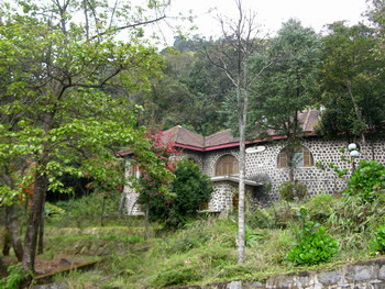
Between 1933 and 1943 the French colonial administration
established a hill station on Mount Bach Ma.
This hill station comprised two hotels, 130 holiday cottages,
a swimming pool and a tennis court. Of the original buildings,
however, only ruins now remain. Since reunification in 1975,
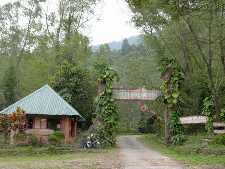
a tourism resort has been re-established at Bach
Ma. There is a guesthouse at the national park
headquarters and several nature trails. The forest at the
national park protects two important watersheds, which supply
water for irrigation and domestic use to households in the
surrounding lowlands.
.jpg)
|